

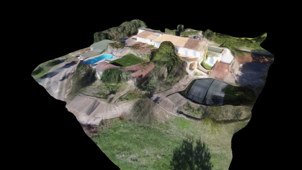
3D mapping in visual spectrum (or 3D mapping) is a technique that allows us to draw a three-dimensional model of an extensive surface. Drones Mallorca is one of the pioneering companies in this field in Mallorca and Spain.
This new service will allow us to expand our operations to fields as varied as construction, civil engineering, forest surveillance or extensive agriculture.
The information derived from this technique can be used in a variety of software:
- 3D modeling, animation and rendering
- CAD construction software
- Online 3D software like Sketchfab
- Mapping programs for Google Maps, etc.
This opens up a range of possibilities in terms of the fields of application. Some of its applications are:
- Calculation of volumes for stock control of stockpiles on site
- Estimation of excavation volumes
- Vertical element mappings
- Design of extensive irrigation systems
and a long etcetera. In addition, conventional aerial photography continues to be a great solution for the implementation of work and control of the construction process.