

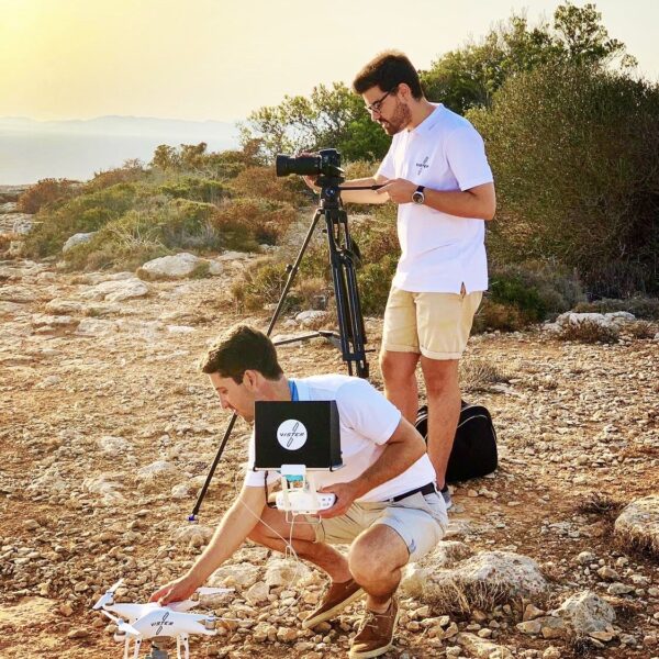
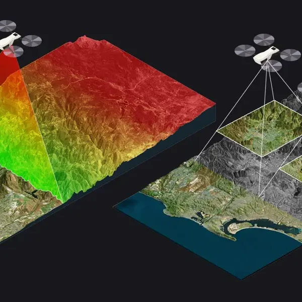
Through drone photogrammetry, we achieve the creation of maps and the reconstruction of three-dimensional objects with exceptional accuracy, using images captured from aerial altitudes.
THE SURVEYOR'S SAFETY STANDS OUT AS THE MAIN ADVANTAGE
Previously, the surveyor had to climb to the highest point of a stockpile, traverse steep slopes, and face the risk of slipping or sinking into the accumulated material.

Increase in Efficiency
With drone flights, millions of colored points can be captured, compared to the traditional method where the surveyor had to observe point by point, hardly achieving 500 points per day.
Increase in Added Visual Value
The possibility arises to have a visual record documenting progress, serving as support for future claims or simply for visual analysis. This allows for a visual comparison of the amount of material that has changed in a storage site.
Reduction of Delivery Times
Processing time is shortened, resulting in a reduction in labor costs. A few years ago, photogrammetric flights with planes specifically adapted for this work had delivery times of approximately one month. With drone flights and the use of ground control points, this time is reduced to just a few days.